If the northern part of Pirin is known for its sheer marble walls, its very end towards the Predela pass offers a completely different, but no less harsh experience. Route No. 24 is a long and epic hike, part of the international E4 route, which will take you from the comfort of the Yavorov hut, through the panoramic Dautov Peak, to descend through the centuries-old, mystical forests of the Dark Meadows to the border with the Rila Mountains.
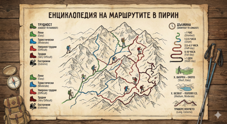
24. ROUTE No. 24 – Yavorov hut – Dautov peak – the dark meadows towards Predela village.
📊 Technical data (Telemetry)
- ⏱️ Duration: About 6.5 – 7.5 hours (in the direction of Predela)
- 📏 Distance: About 15 – 16 km
- 🔥 Calories: ~1800 – 2200 kcal
- 🚶 Avg. speed: ~2.0 km/h (long and exhausting descent)
- ⛰️ Min/Max height: 1140 m (Predella) / 2597 m (Doutov vrach)
- 📈 Elevation: +850 m ascent / over -1450 m descent!
- 🔴 Marking: Red (Main route E4)
- ⚠️ Difficulty: 4/6 (Medium to High – requires serious stamina)
💡 Interesting information
- Dautov Peak (2597 m) offers one of the best panoramas of the neighboring Rila Mountain. According to legend, the peak is named after the Ottoman military leader Daut Pasha.
- The area The Dark Meadows It is named so because of the extremely dense and difficult-to-pass centuries-old pine and spruce forests, through which sunlight has difficulty penetrating.
- The Predela Pass (1140 m) is the geographical border that separates Pirin from Rila and is an important transport hub connecting the Struma Valley with that of Mesta.
🚗 How to get there? (Logistics)
This route is a typical linear transition from point A to point B, which requires advance transportation planning.
The start is from Yavorov chalet„. It is reached from the city Razlog (through the Betolovoto area) on foot or by all-terrain vehicle.
The final is on the Predela Pass. The main asphalt road (Simitli - Bansko/Razlog) passes through it, where there are intercity bus stops, numerous restaurants and the opportunity to easily catch a taxi or leave a second car in advance.
🥾 Description of the route
1. From Yavorov hut to the ridge
The hike begins along the red markings in a north-northwest direction. Initially, the trail passes through beautiful forest areas, then gradually gains altitude through the Bolyarski Dol area. The goal is to reach the Main Pirin Ridge.
2. Climbing Dautov Peak
Coming out onto the open ridge, the massif of Dautov Vrah stands before you. The main E4 trail skirts the peak, but the route includes its ascent. You turn off along a short, steep trail to the very elevation (2597 m). The view from here is stunning – to the south you can see the marble pride of Pirin, and to the north – the endless Rila massifs.
3. Descent to the Dark Meadows
After the summit, the real test begins – the endless descent. The trail heads straight north, losing altitude extremely quickly. You enter the high squat belt, which gradually passes into the centuries-old, gloomy and impressive forest of the Dark Meadows. Here the terrain is soft (covered with needles), but in places very steep.
4. End of the Limit
The forest gradually becomes lighter (mixed), and the trail turns into wide forest roads. After a few hours of descending through the trees, you will hear the noise of cars and you will come out directly onto the asphalt road of the Predela pass.
🛖 Basic information about the site (Predela Pass)
Predela is not just a saddle, but a developed tourist area that offers a wonderful end to the difficult hike.
- 📌 Tip: Celebrate the successful crossing with a hot meal at one of the iconic roadside inns along the pass.
- ☀️ Season: Optimal period for the hike: June – October. The snow stays in the forest for a long time.
- 🛏️ Accommodation: In the Predela region there are numerous hotels, rest stops and guest houses with all amenities.
- 🚌 Transportation: Regular bus lines run from here towards Sofia, Blagoevgrad and Bansko.
⚠️ Important to know
Knee strain: The descent from over 1450 meters of elevation gain is brutal on the knees and joints. Walking sticks here they are not just recommended, they are mandatory!
Water: There is no water in the alpine part (around Dautov Vrah). The first reliable springs are much further down in the forest (Tamnite Polyani). Stock up on at least 2 liters from Yavorov hut.
Wild animals: The forests above the Reach are extremely wild and are home to a large population of brown bears. bears. Move in a group and talk loudly to alert them to your presence.
❓ Frequently Asked Questions (FAQ)
Can I do the route in the opposite direction (from Predela to Yavorov hut)?
Yes, this is the classic start of the E4 in Pirin. However, keep in mind that you will have a colossal, continuous climb of +1450 meters on the first day of your hike. You should start very early in the morning.
Is it easy to lose the trail in the forest?
The red markings in the Dark Meadows section are usually maintained in good condition, but due to logging or fallen trees, you may temporarily lose the signs. Bring a charged GPS.