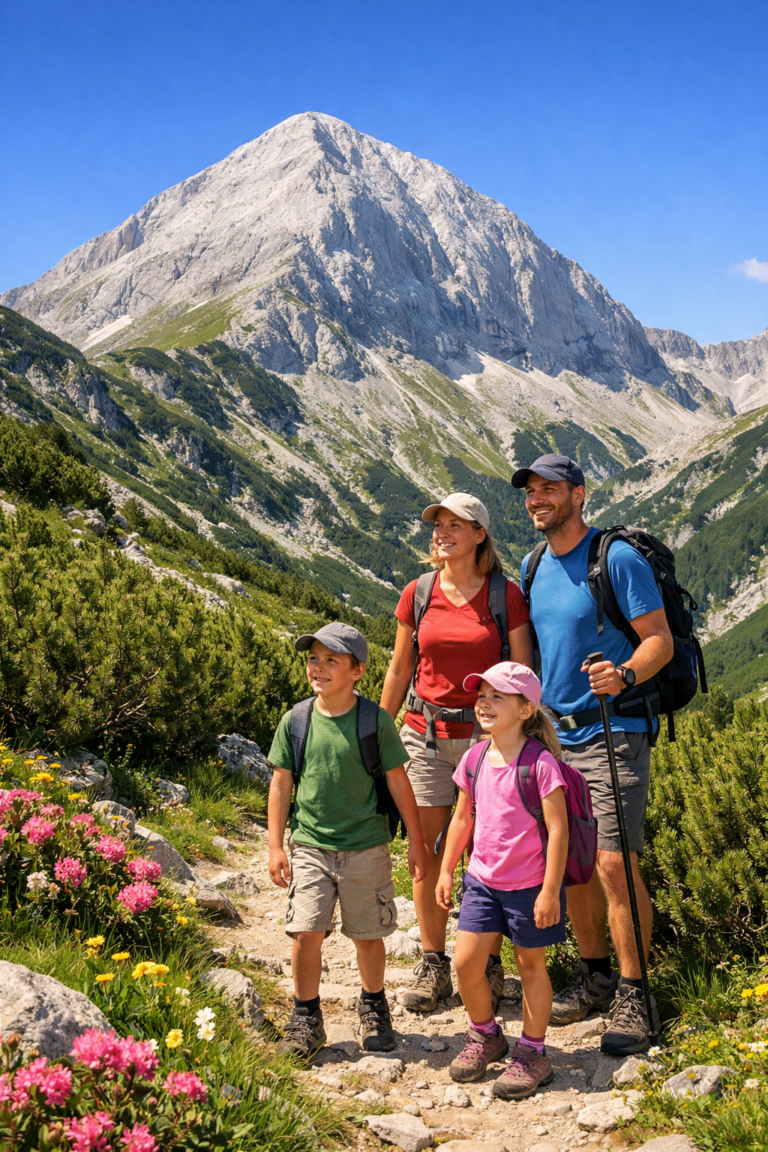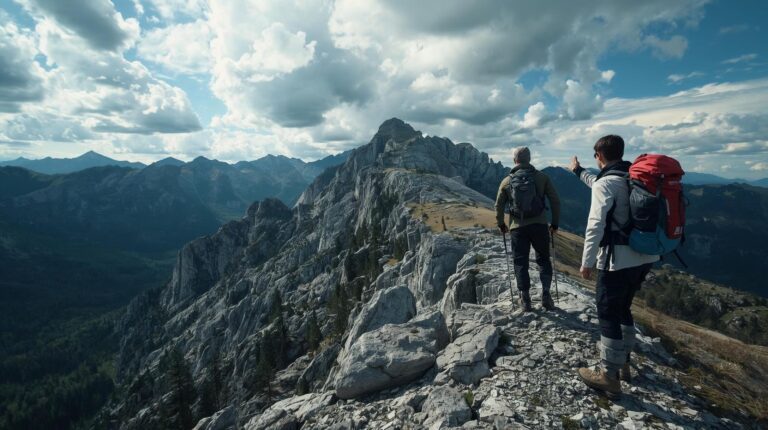
Many tourists make the fatal mistake of relying solely on Google Maps to find their way to Vihren Hut, The horse or Tevno Lake. In this article we will look at why specialized navigation in Pirin It's a matter of safety and what are the tools that will never let you down.
Why is Google Maps a dangerous choice for the mountain?
Google Maps is designed for urban environments and asphalt roads. When you enter the circuses of Pirin, it becomes not only useless, but also dangerous for three main reasons:
- Lack of topographic details: Google shows the mountain as a flat “green spot.” Here you don’t see the horizontals (the elevation difference), which means you don’t know if the trail is flat or you’re climbing a steep scree.
- Winter vs. summer marking: Standard maps do not distinguish between summer trails and winter routes (stakes), which is critical in Pirin due to the avalanche danger.
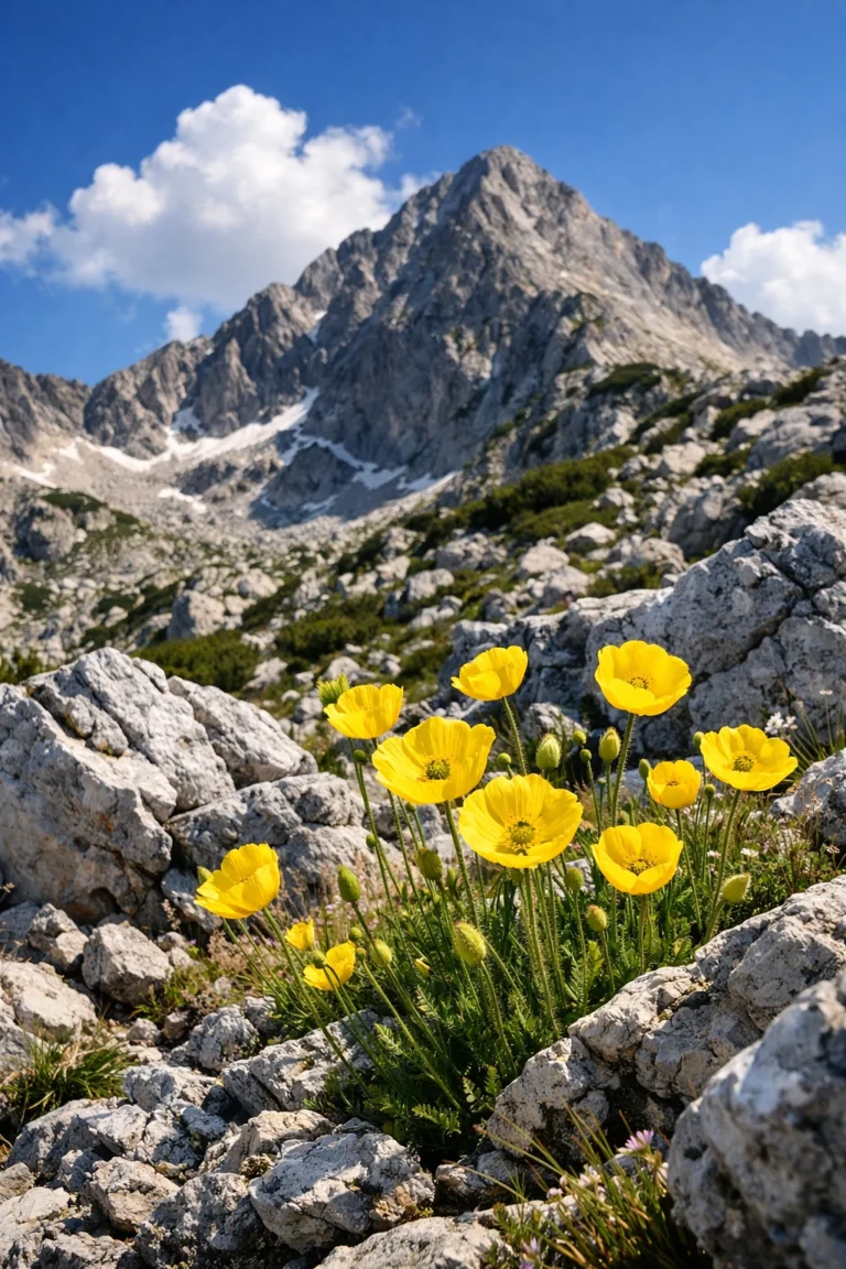
- Lack of water sources: In the dry Pirin Mountains, knowing where the nearest fountain or spring is can save your day.
BGMountains: The Holy Grail of Navigation in Pirin
In Bulgaria we have the privilege of having BGMountains – one of the most detailed amateur maps in the world. It is maintained by volunteer mountaineers and contains information that is missing even in paid satellite services.
What makes BGMountains indispensable?
This map includes detailed markings of all official routes, as well as numerous trails “invisible” to the average tourist. On it you will find:
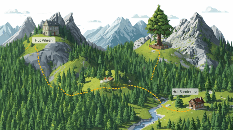
- All shelters, sheds and huts with current names.
- Fountains, streams and seasonal springs.
- The borders of reserves (where movement outside the trails is prohibited).
- Names of peaks, passes and localities, taken directly from old topographic maps.
Expert advice:
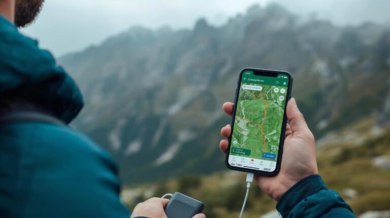
To use BGMountains on your phone, you need an app that supports importing maps in .map format or offline raster tiles. The best options are OruxMaps и Locus Map for Android.
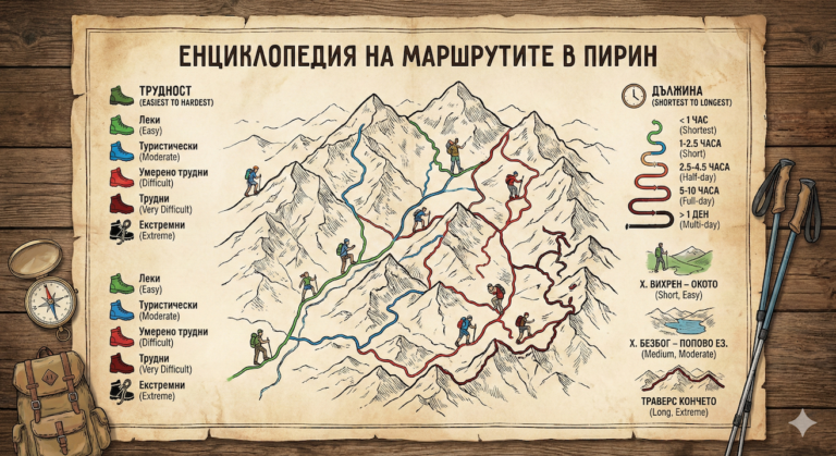
Top Navigation Apps: Ranking 2026
The choice of software depends on your level of preparation. Here are the applications we recommend for your stay in Bansko and the region:
| Application | Level | Main advantages |
|---|---|---|
| Maps.cz | Beginner/Intermediate | Completely free. The best visualization of trails. Works offline after downloading the map of Bulgaria. |
| Locus Map | Advanced | Huge number of settings. Possibility to overlay BGMountains and Cadastre. |
| AllTrails+ | Tourists | Great for photos and up-to-date comments on trail conditions from other people. |
| Fatmap | Freeriders | The best 3D terrain visualization. Perfect for planning descents and ascents. |
Energy independence: How not to run out of battery?
Even the best navigation in Pirin is useless if the phone screen goes black. The cold at altitudes above 2000 meters can drain your battery from 80% to 0% in a matter of minutes.
The golden rules of mountain software:
- Airplane Mode: When the phone loses range, it boosts its transmitter to maximum to find a cell. In Pirin this happens all the time. Turn on airplane mode as soon as you leave Bansko. The GPS chip works independently of the network!
- Heat is life: Lithium-ion batteries hate the cold. Don't keep your phone in an outside pocket of your jacket or backpack. The best place is in an inside pocket, near your chest.
- Backup power: An external battery (Power Bank) is not a luxury, but a necessity. For a day in the mountains, 10,000 mAh is more than enough to charge your phone twice.
Safety: PSS and the “PSSA” App”
Navigation is not just about not getting lost, but also about being found. The Mountain Rescue Service (MSS) has an official app that is a must for every hiker. In the event of an accident, it sends your exact GPS coordinates via SMS, which shortens the time it takes to find a person. the weather for action for hours.
Important insurance: The paper card
No matter how advanced the technology, electronics can be damaged – from impact, getting wet or system failure. Always carry an up-to-date paper map of Northern Pirin with you. It doesn’t need a battery and gives you the “big picture” that is difficult to perceive on a small screen.
You can purchase quality laminated maps at the Tourist Information Center in Bansko or at sports shops in the city.
Conclusion and practical steps
Preparing for Pirin Mountain navigation starts at your hotel, not on the trail. Before you head to the peaks, make sure you have completed the following checklist:
- You have downloaded the offline map of the region in Maps.cz or another application.
- The phone is loaded on 100%.
- The external battery and cable are in your backpack.
- You have installed the MES application.
- You have informed someone about your route and expected return time.
The mountain is hospitable only to the prepared. With proper navigation and a little common sense, your stay in Pirin will be an unforgettable and safe adventure.