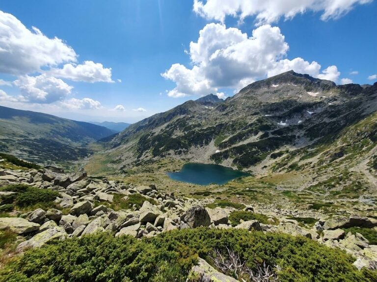
Looking for a hike that will test your physical endurance and take you through several climate zones in just one day? Route #2 from the Yavorov hut junction to the town of Kresna is among the longest and harshest tests in the Northern Pirin. Prepare for stunning 360-degree panoramas, kilometers of walking along karst ridges, and one of the most epic descents that our native nature can offer to any true adventurer.
Official name: ROUTE No. 2 — from the junction for the "Yavorov" hut / the main road to the town of Razlog from the town of Blagoevgrad, republican road network / to the town of Kresna
- ⏱️ Time without breaks: 10:30 a.m.
- ☕ Time with breaks: ~12:00 p.m.
- 📏 Distance: ~28 km
- 🔥 Calories: ~2800 kcal
- 🏃 Average speed: 2.5 km/h
- ⬇️ Lowest point: 160 m above sea level (town of Kresna)
- ⬆️ Highest point: ~2600 m above sea level (Northern Pirin ridge)
- ▲ Elevation: +1000 m / -2600 m
- ⛰️ Difficulty: 6/6 (Extremely high)
- ✨ Marathon length: This is one of the longest continuous hiking routes (Route No. II), crossing the entire North Pirin massif.
- ✨ Climatic contrasts: During the hike, you pass through several different vegetation zones – from alpine rocky ridges to the Mediterranean influence in the Struma River valley.
- ✨ Vast horizons: The open areas offer 360-degree panoramas simultaneously to the peaks of Pirin, Rila, Vlahina and Maleshevska Mountains.
🚗 How to get there? (Logistics)
By car: The starting point is the junction for the Betolovoto area and Yavorov hut, located on the republican road II-19 (the Razlog - Blagoevgrad section). You can leave your car in the area of the junction or take the road to the free parking lot under the Yavorov hut itself. Since the route is linear and ends far away, it is highly recommended to have two cars (one left in advance in Kresna) or plan a return by bus on the main road E79.
On foot: The hike starts from the fork in the main road or from the Yavorov hut (if you have stayed there). Take the clearly marked yellow tape marking. At the beginning, you cross several forest clearings, so follow the signs with caution.
🥾 Description of the route
The long transition can be divided into three main stages:
- Stage 1: Ascent to the ridge. Initially, the trail winds through dense, centuries-old coniferous forests of white and black pine. The slope is constant but pleasant, especially in the early shady hours of the day.
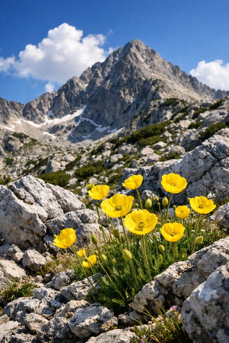
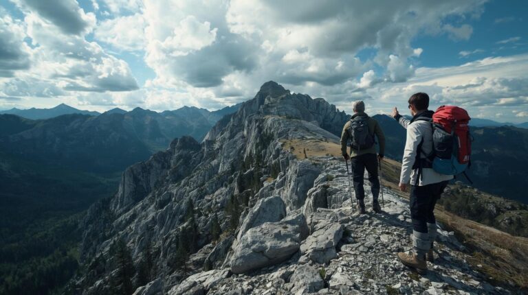
- Stage 2: The panoramic ridges of Northern Pirin. After leaving the forest belt, the route passes through open saddles and ridges. Here the yellow markings lead you through the harsh Pirin karst. The views are breathtaking, but the terrain becomes very rocky and technical, and the summer sun is merciless.
- Stage 3: The long descent to the Kresna Gorge. The trail begins its smooth but endless descent to the west. The high mountain landscape gives way to mixed deciduous forests and meadows. The huge negative elevation difference (-2600 m) puts a serious strain on the knees before the finish in Kresna.
🏠 Basic information about the sites (Yavorov hut and Kresna town)
This route connects the excellently arranged Yavorov hut (offering warm food and great sleeping conditions) with the urban infrastructure of Kresna, where shops, restaurants, and transportation await you.
🕒 Working hours: The route is open 24/7; Yavorov Hut is open year-round.
📅 Most visited in: July – September.
🛏️ Places/Beds: Yavorov hut has 70 beds; in Kresna there are hotels and guest houses.
💸 Price: Passage through the park is free.
🐕 Dogs: Allowed, but only for extremely hardy dogs (lack of water is a serious problem).
📞 Telephone number: Razlog Detachment / Bansko: 088 1471 (Central).
⚠️ Important to know
- Water: There is no water on the high ridge! Be sure to bring at least 3 to 4 liters per person for the entire day.
- Winter conditions: The route is extremely unsuitable and dangerous for winter travel without specialized alpine equipment and a guide. The risk of avalanches is high.
- Equipment: High, sturdy hiking boots, poles (a lifesaver for your knees on the long descent), a windproof jacket, and sun protection are mandatory.
- Scope: There is good mobile coverage along the ridge, but in the deep forest areas at the beginning and end it is lost.
❓ Frequently Asked Questions (FAQ)
Are there any water fountains along the way?
After passing the Yavorov hut area, there are no reliable water sources until you descend into the lowlands towards Kresna. Plan your supplies very carefully.
Is the route suitable for children?
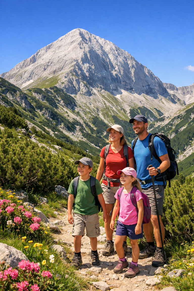
No. Due to its enormous length (over 10 hours) and extreme negative elevation gain, the route is only suitable for adults with excellent physical fitness.
Where can I leave my car in Kresna?
In the town of Kresna, there are many convenient and free parking spaces around the center, the train station, or roadside establishments on the E79.