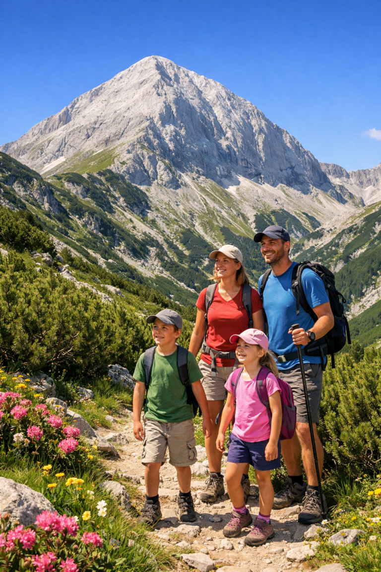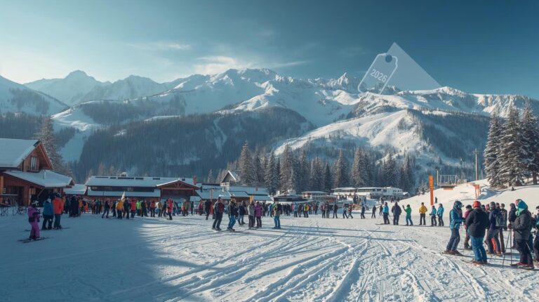
Bansko is undoubtedly the pearl of Bulgarian winter tourism. Every brochure, every advertising clip and every tourist website proudly declares: “75 kilometers of ski slopes”. But when you plan a visit to the popular ski slopes in Bansko, have you ever wondered how exactly this number is formed? What are these tracks, where do they start and where do they end?
Let's dissect the ski area and see the math behind the snowy fun.
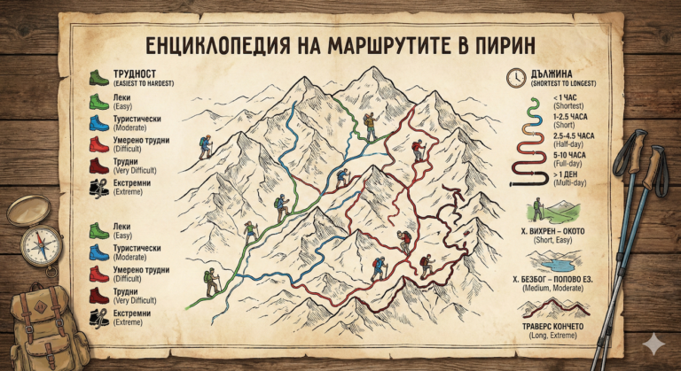
The Big Picture: How does 75 km add up?
It is important to clarify that the number 75 km is not a straight line. It is the sum of three main components that together form the network of ski slopes in Bansko:
- Active ski slopes (processed routes).
- Ski trails (Ski roads) – the connections between the slopes and the road to the city.
- Ski routes – areas that are marked but not always treated (for more advanced users).
Here's what the breakdown by difficulty and length looks like:
1. The longest route: “The Ski Road”
- Length: About 16 km (with continuous descent from Todorka Peak to the city).
- Role: The backbone of the 75 kilometers.
💡 Useful: This is the unique advantage of Bansko. If you climb to the highest point (under Todorka Peak at 2600 m above sea level) and go down, combining the slopes with the official “Ski Path” (Ski Path No. 1), you can ski without interruption all the way to the starting station of the gondola lift in the town.
Ski Route No. 1 itself (from Banderishka meadow to the city) is about long 7 km and has a gentle slope, suitable for beginners. This is the main “donor” of kilometers in the total bill.
2. The Shortest and Steepest: The Challenges
- The shortest runway: Often these are connecting sections or the children's slopes (panichki) of Banderishka Polyana, which are about 100 meters long. 100-200 meters. They are important for the first steps, but they do not accumulate mileage.
- The hardest (Black): Track “Tomba” (No. 9). Named after the legend Alberto Tomba, it is the emblem of Bansko.
- Length: Around 2.5 km.
- Although it is not the longest, it is the most intense and requires mastery.
The Math of Tracks: List by Kilometer
To get the coveted 75 km, we need to add up the main arteries of the resort. Here are the approximate lengths of the main routes (varying according to the downhill options):
Beginners (Blue runs) – About 35% of the total volume
Here are the easiest and most enjoyable kilometers, where the bulk of skiers gather.
- Plateau 1 and 2: Located highest in the mountain. Length: ~ 2-3 km in total. Wide and with a nice view.
- Shiligarnik 1 and 2: The classic of Bansko. Length: ~ 4-5 km (along with the branches).
- Carriageway: Another key blue artery. Length: ~ 3 km.
Advanced (Red Runs) – About 40% of total volume
These are the "workhorses" of the resort, where riders seek speed.
- Balkaniad: Legendary track, often used for racing. Length: ~ 3 km.
- Banderitsa: Connects the upper part to an intermediate station. Length: ~ 2.5 km.
- Chalin Valog 1 and 2: Lower located, often underestimated, but great red runs. Length: ~ 3 km in total.
- Todorka: The high part below the top. Length: ~ 1.5 – 2 km.
Experts (Black Runs) – About 25% of the total volume
- Tomba: The already mentioned queen. Length: ~ 2.5 km.
- Bin 2 (spare): It is often used as an option.
Summary table: How do we get to 75?
If we add up only the named tracks above, we will get about 30-35 km of “pure” riding. Where does the remaining 75 come from?
| Route type | Contribution to kilometers | Explanation |
|---|---|---|
| Main runs (Blue/Red/Black) | ~ 45 km | This includes all the main descents + their sleeves (left/right variants). |
| Ski Road to the city | ~ 7-10 km | The main retraction artery, which is long and sloping. |
| Connecting roads (Cat tracks) | ~ 15-20 km | In Bansko there are numerous horizontal connections between Shiligarnik, Banderitsa and The plateau, which add serious mileage. |
| TOTAL | ~ 75 km |
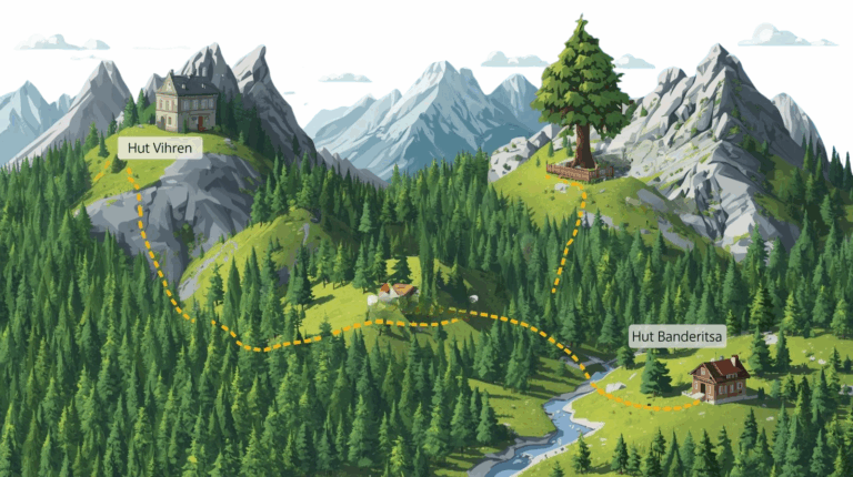
The Engine of the 75 Kilometers: The Lifts
To make these 75 kilometers accessible and dynamic, there is a serious “machine” of lifts and tows behind them. In fact, the feeling of scale when you are on ski slopes in Bansko, comes precisely from the speed with which you can change one zone to another.
Here is what the transportation scheme that serves the slopes looks like:
This is the most important facility. The 8-seater gondola travels over 6 kilometers from the city to Banderishka Polyana in about 20-25 minutes. It is the “umbilical cord” between the hotels and the actual ski area.
2. High-speed chairlifts
They are the backbone of skiing. In recent years, Bansko has replaced many of the facilities with modern, fast lifts with safety helmets:
- “Todorka” (6-seater): It replaces the old 3-seater and takes skiers to the highest point (below the summit) extremely quickly.
- “Mosta” (6-seater): A strategic lift that relieves traffic on Shiligarnik and provides quick access to the Plateau.
- “Banderitsa 1 and 2” and “Shiligarnik”: 4-seater lifts that serve the busiest blue and red slopes.
3. The Lifts and the “Magic Carpet”
For those who are now walking (or for children), there are several short “panichka” and anchor type trails, as well as children's trails on Banderishka Polyana. They don't accumulate kilometers, but they gain invaluable experience.
The score: 26,000 people per hour
The total capacity of all facilities in Bansko is around 26,000 people per hour. This is why even on busy days, once you get up the mountain (after the morning Gondola queue), people disperse along these 75 km of slopes and the ride becomes enjoyable.
Final words
The next time you see an advertisement for “75 km ski slopes in Bansko“", you will already know what lies behind it. It is a combination of the long 16-kilometer road to the city, the wide plateaus with views of Pirin, the steep and technical "Tomba" and the network of roads that connect them.
Whether you are a beginner who will make your first 100 meters on the "pan", or an expert who will eat the black run for breakfast, Bansko offers something for every kilometer of your ambitions.