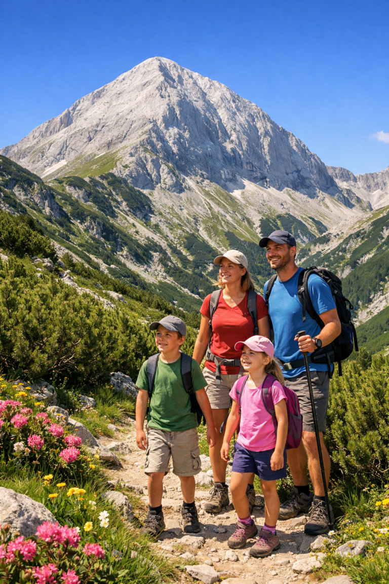
The transition along route Vihren hut – Yane hut Sandanski is more than just a walk – it is a classic expedition that connects the raw marble of the Northern Pirin with the soft, green folds of the Southern part. This route takes the tourist through emblematic places such as Muratovo Lake and Banderishka Gate, to descend into the kingdom of the centuries-old walls above the town of Sandanski. If you are looking for panoramas, silence and a serious physical challenge, this guide is for you.
📊 Technical data (Telemetry)
Data is based on summer conditions and average backpacking pace.
🔍 Interesting facts about the route
- Climate boundary: Passing through Banderishka Gate, you literally change climate zones. The northern part is under the influence of the Alpine climate, while the descent towards Sandanski immerses you in the Mediterranean influence along the Sandanska Bistrica River valley.
- The wine route: In the past, parts of this route were used by merchants ("kiradzhii") who transported the famous Melnik wine. wine with mules from the south to the Razlog valley and Bansko.
- The Kingdom of the Moors: The final part of the hike passes through a reserve known for some of the oldest and most majestic white pine forests in the Balkans.
🚗 How to get there? (Logistics)
This one route Vihren hut – Yane hut Sandanski is linear, making logistics more complicated than circular routes. Since the start and end points are about a 2-hour drive apart, planning is key.
Start: Vihren Hut (From Bansko)
- By car: The chalet is accessible via an asphalt road (16 km from Bansko). Important: During the summer season (July-August), the road is often closed by police between 09:00 and 16:00 due to traffic congestion.
- Parking: Parking spaces in front of the chalet are very limited. The best strategy is to park in Bansko (e.g. at the starting station of the lift) and take a minibus to the chalet.
Final: Yane Hut Sandanski (From Sandanski)
- Location: The hut is located in the resort area of “Popina Laka”, 18 km above the town of Sandanski. The road is excellent asphalt.
- Transportation: There is no regular public transport from the chalet itself to the town. You need to arrange transport in advance (a friend or a taxi from Sandanski).
- Return to Bansko: If your car is in Bansko, you should plan a taxi or transfer from Sandanski through the Predel Pass (about 100 km / 1 hour and 40 min).
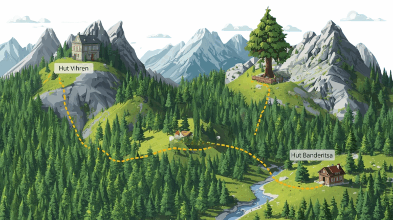
🥾 Detailed description of the route by stages
The route is diverse and can be divided into three main, radically different stages: an alpine climb, a plateau crossing, and a forest descent.
Stage 1: Vihren Hut – Muratovo Lake – Banderishka Gate
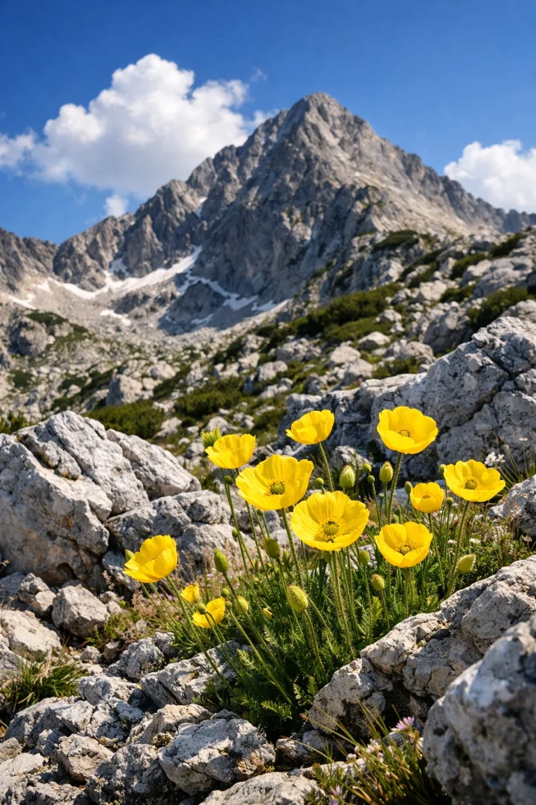
You start from the fountain in front of the Vihren hut, following the blue-yellow markings. The path crosses the river on a wooden bridge and begins a gentle climb along the right bank of the valley. After about 40-50 minutes you reach Muratovo Lake (2230 m) – an ideal place for a first break and photos with the reflection of Todorka Peak in the water.
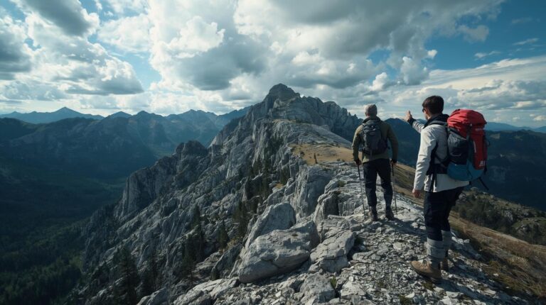
The real test begins at the lake. The trail becomes steep and rocky, winding towards the saddle. The climb to Banderishka Gate (2500 m) It takes about an hour. The gate is the highest point on the route and offers a breathtaking panorama – back to the marble giant Vihren and forward to the endless expanses of South Pirin.
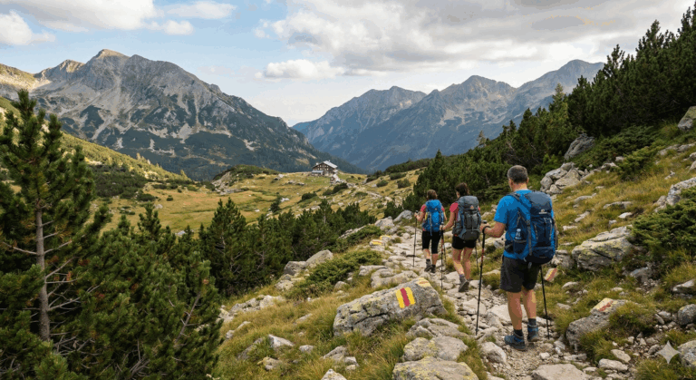
Stage 2: Banderishka Gate – Spano Pole Shelter
After the pass, a long descent begins to the circus of “Golyamo Spano Pole”. Here the terrain is open, covered with grass and scrub. The markings (yellow and brown stripes) must be followed carefully, especially in reduced visibility. In the distance you will see the characteristic colorful mushroom houses of Spano field shelter.
The shelter is a strategic point for a long break and lunch. The kitchen offers hot soups, grills and drinks, and the place is known for its hospitality.
Stage 3: Spano Pole – Popina Laka Area (Yane Sandanski Hut)
This is the most physically taxing part for the joints, as the elevation gain is significant and only downwards. From the shelter, the trail enters the forest belt, following the valley of the Bashliytsa River (one of the tributaries of the Sandanska Bistrica).
The descent lasts about 2.5 – 3 hours through beautiful, shady forests. The trail crosses the river on picturesque bridges. As you approach the finish line, you will feel the change in the air and vegetation. The route exits directly onto the asphalt road in the Popina Laka area, right next to the Yane Sandanski hut.
🏠 Basic information about Yane Sandanski Hut
Unlike high-mountain chalets, Yane Sandanski Chalet offers much more comfortable conditions, being located in a resort area with access for cars.
ℹ️ Info panel: H. Yane Sandanski
- 💡 Tip: Just a 5-minute walk from the chalet is the impressive Popinolashki waterfall (15 m high) – mandatory stop for the final.
- ✔️ Working hours: Year-round, without a day off.
- 🛏️ Conditions: The chalet is renovated, hotel-style. The rooms (2, 3) have private bathrooms, heating and Wi-Fi.
- 💸 Price: Approximate 35-50 BGN per bed (current as of 2026).
- 🐕 Dogs: They are allowed, but calling in advance is recommended.
- 🍽️ Food: The restaurant offers an extensive menu, including local specialties.
⚠️ Important to know and safety tips
- Protect your knees: The negative elevation gain is over 1200 meters. The descent is long and strenuous. Carrying hiking poles and knee braces is highly recommended.
- Water resources: There is no water in the section between Muratovo Lake and Spano Pole (unless you are melting snow). Bring at least 2 liters at the start. After the shelter, in the forest, there are streams, but use a filter bottle.
- Communication: The coverage is good at Banderishka Porta and at the starting/ending point. In the deep valley of the Sandanska Bistrica River and around Spano Pole, the signal is often completely absent.
- Meteorology: Banderishka Gate is a windy pass. Even if it is warm below, the wind can be strong and cold above. Always wear a windbreaker (windstopper).
❓ Frequently Asked Questions (FAQ)
Q: Can I do the route in the opposite direction (from Sandanski to Vihren)?
A: Yes, but the route becomes a “Difficult” category. The elevation gain of +1270 m and up is a very serious load and will extend the weather you by at least 2 hours.
Q: Is it suitable for children?
A: Due to the long distance (15+ km), the route is not recommended for young children. It is suitable for teenagers with mountain experience.
Q: Is there an entrance fee?
A: No, the entrance for pedestrians to Pirin National Park is free.
🗺️ Nearby routes
- Sinanitsa Hut – Detour from Banderishka Gate (another ~1 hour in that direction).
- Vihren Peak – The classic climb from the hut.
- Begovitsa Hut – A neighboring chalet in the Sandanski region, accessible from Popina Luka.