Published: 20.01.2026 • Updated: 11.02.2026
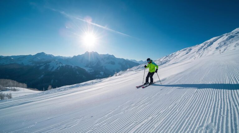
Planning a hike or ski weekend begins with one critical question: What will it be? the weather in Pirin? This mountain is one of the most beautiful, but also the harshest in Bulgaria. Weather conditions here change in minutes – from scorching sun to zero visibility and a snowstorm. In this detailed guide, we will look at reliable sources, how to embed a forecast on your website and how to “read” the signs on the mountain.
2. Where to check the weather in Pirin? (Top 5 Sources)
Never rely on just one source when it comes to weather in Pirin. The high mountain has its own microclimate, which often diverges from general forecasts. Here are the sites that professionals use:Bulgarian specialized sources
- Mountain Rescue Service (MRS): This is the “Bible” for every mountaineer. The site pss-bg.bg does not just give degrees, but information about the condition of the slopes, facilities and most importantly - avalanche danger. Before you go to Banderishka meadow or Vihren Peak, be sure to check here.
- NIMH (Meteo.bg): The National Institute is the most reliable for issuing warning codes (yellow/orange/red) for strong winds and storms in the region.
High-resolution foreign models
- Meteoblue (Swiss model): Their technology is designed specifically for complex terrains like the Alps, making it extremely accurate for Pirin. Follow “Meteograms” for cloud cover by altitude.
- Windy.com: The best tool for wind visualization. In Pirin, wind is the #1 factor for survival in winter. In Windy you can compare the ECMWF (European) and GFS (American) models. If both show a storm – don't go!
- Mountain-Forecast.com: What's unique here is the ability to see a forecast by altitude. You can check weather in Pirin at 1000m (Bansko), 2000m (Vihren Hut) and 2914m (Top). The temperature differences are drastic.
⚠️ WARNING: Avalanche Safety
In winter, weather in Pirin creates conditions for avalanches, especially in the chutes under Todorka and Vihren. Follow the bulletins of the Bulgarian Avalanche Association (BLA). If you do not have experience and equipment (airbag backpack, avalanche transceiver, probe, shovel), ski only on marked slopes!3. Analysis: How to “read” forecasts like a professional?
Tourists often complain: “"The weather forecasters didn't guess again!"”. The truth is, the mountain requires interpretation of data, not blind trust. Here are three key factors that change everything:Factor A: Temperature Gradient
The standard rule is that the temperature drops by about 0.65°C every 100 meters altitude. If in Bansko (925 m) it is 10°C, on Vihren Peak (2914 m) the theoretical temperature is about -3°C. Always do this calculation.Factor B: Wind Chill (Feeling of cold)
This is the most insidious element. At an air temperature of -5°C and a wind of 30 km/h, the human body feels like it is at -13°C. In stronger winds, frostbite of exposed parts of the body can occur in minutes.Factor B: The Inversion
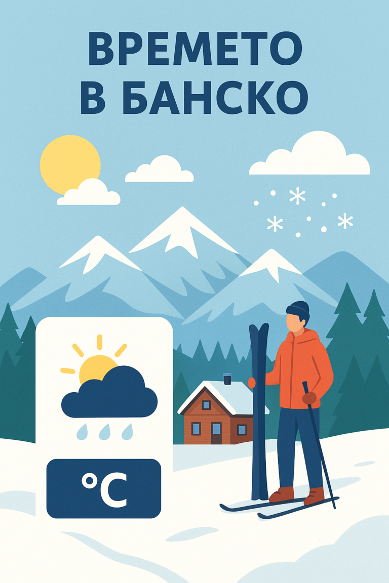
A typical phenomenon for Bansko in winter. The town may be shrouded in thick fog and cold, while on The Shiligarnika and the Plateau is shining brightly. On such days webcams are your best friend to understand the real situation above the clouds.4. “Triangulation” Strategy”
How to be sure of the forecast? Use the triangulation method:- Check Yr.no for precipitation.
- Compare with Windy for wind force.
- Look. Meteoblue for cloudiness.