It is 19° in Bansko now.
light rain
Popular searches:
buses
breakfast in Bansko
doctor
narrow gauge
English (UK)
English (UK)
Български
Русский
Entry
Business in Bansko
Transportation and cars
Health and beauty
Hotels and accommodation
Properties, renovations and home
Restaurants and dining
Services and business
Shopping
Entertainment
Bars and nightlife
All businesses
Business Center Bansko
Accommodation
Events
Guides
The tourist
To the seller
To the buyer
To the owner
For new residents
Bansko on four paws
Useful
Properties in Bansko
Travel guide
Ideas and tips
News
About Bansko
Multimedia
Photo
Video
It is 19° in Bansko now.
light rain
Entry
Popular searches:
buses
breakfast in Bansko
doctor
narrow gauge
USEFUL ARTICLES
April 3, 2026
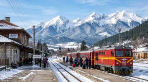
Transport in Razlog 2026: Your central hub for the region
April 3, 2026
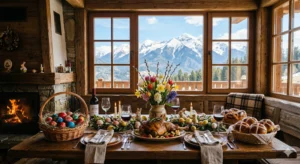
Catholic Easter in Bansko: A Guide for Expats and Tourists 2026
April 2, 2026
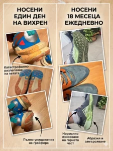
10 hours on Vihren versus 1.5 years of wearing: Why does Pirin destroy sneakers?
April 2, 2026
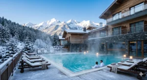
SPA hotels with mineral water Razlog: Top 4 for 2026
April 2, 2026
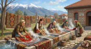
The Laundry in Dobrinishte: Authentic Tradition and Healing Water (2026)
April 2, 2026
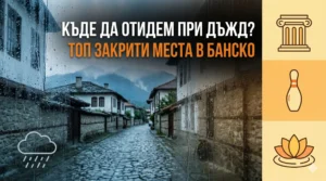
Where to go in Bansko when it rains: Top indoor places for tourists
April 2, 2026
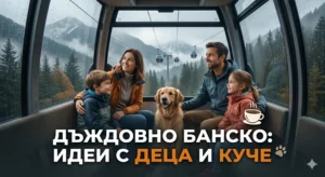
Rainy weather in Bansko: Top ideas for a walk with children and a dog
April 2, 2026
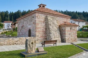
The Old Roman Bath in the Village of Banya: History, Healing Power and Architecture
April 2, 2026
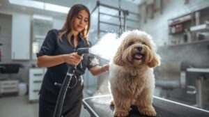
Dog hotel in Bansko, grooming and pet services
April 1, 2026
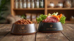
Dog food in Bansko: Pet stores, BARF and online deliveries
April 1, 2026
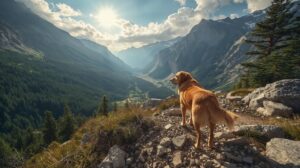
Walking a dog in Bansko: Routes, rules and fines in Pirin
April 1, 2026
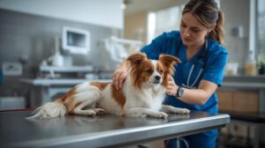
Veterinarian Bansko: Emergencies and dangers for dogs
Previous
Page
1
…
Page
10
Page
11
Page
12
Page
13
Page
14
…
Page
102
Next
We've detected you might be speaking a different language. Do you want to change to:
Български
Български
English (UK)
Русский
Change Language
Close and do not switch language
We've detected you might be speaking a different language. Do you want to change to:
Български
Български
English (UK)
Русский
Change Language
Вход
Регистрация
Remember me
Forgot Password?
Вход
I agree to the terms and conditions and privacy policy of vBansko.com
Регистрация
Lost your password? Please enter your username or email address. You will receive a link to create a new password via email.
Нулиране на парола
body::-webkit-scrollbar { width: 7px; } body::-webkit-scrollbar-track { border-radius: 10px; background: #f0f0f0; } body::-webkit-scrollbar-thumb { border-radius: 50px; background: #dfdbdb }
Business in Bansko
Transportation and cars
Health and beauty
Hotels and accommodation
Properties, renovations and home
Restaurants and dining
Services and business
Shopping
Entertainment
Bars and nightlife
All businesses
Business Center Bansko
Accommodation
Events
Guides
The tourist
To the seller
To the buyer
To the owner
For new residents
Bansko on four paws
Useful
Properties in Bansko
Travel guide
Ideas and tips
News
About Bansko
Multimedia
Photo
Video
Back
Entry
Remember Me
Entry
Lost your password?
|
Register
EN
BG
RU


 light rain light rain light rain