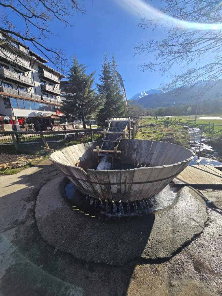
Did you know that?
The name of the river comes from the Old Slavic word “eye”, which means “round stones” or “ball”. This is a direct reference to the characteristic rounded river stones that you will see along its entire course in the area of the city Bansko.
Geographical location and water route
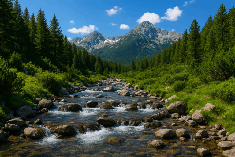
The Glazne River is located in Blagoevgrad district and crosses the territories of the municipalities of Bansko and Razlog. It is a right tributary of the Iztok River, which in turn feeds the River Places – one of the most important waterways in the Balkans. The total length of the Glazne from the confluence point to the mouth is 11 kilometers, but if you count its right tributary (Demyanitsa), the total length reaches 24.6 km.
| Characteristics | Value |
|---|---|
| Catchment basin | 119 sq. km |
| Average slope | 62 parts per thousand |
| Maximum outflow | 35.8 cubic meters/second |
| Starting height | 1063 m (merge) |
Sources and constituent rivers: Banderitsa and Demyanitsa
The Glazne River rises at an altitude of 1063 meters above sea level on the southern outskirts of Bansko. Here the two main “arms” of the river meet, each with its own unique beauty and glacial origin.
1. Demyanitsa River (Right component)
Demyanitsa originates from The Great Valyavishko Lake (2280 m above sea level). It collects the waters of six lake groups, which makes it extremely full-flowing. Along its course are two stunning waterfalls, declared natural landmarks:
- Demjanski jump: 11 meters high, located at an altitude of 1750 m.
- Julian jump: 9 meters high, located slightly lower (1650 m).
2. Banderitsa River (Left component)
Banderitsa flows from the Upper Banderitsa Lake (2310 m above sea level). It is more lush and steep, passing through a narrow canyon below the Banderitsa hut. Its largest waterfall, Banderishki jump (11 m), has been a protected area since 1965. A curious fact is that at the foot of Mount Kutelo, the river "sinks" underground for a full 1.5 km before emerging again.
Hydrological regime and safety in 2026
The Glazne River is known for its irregular flow. The peak of high water is during May and June, when the snowmelt in Pirin is most active. Although the banks in the Razlog Valley are fortified with dikes, the river showed its power in 1957, 2007 and 2016.
By 2026, the infrastructure around the riverbed in the town of Bansko has been modernized with new thresholds and cleaned sections, which guarantees the peace of mind of tourists and local residents even during intense rainfall.
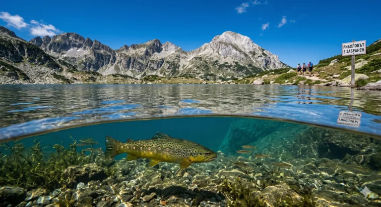
Fishing and biodiversity
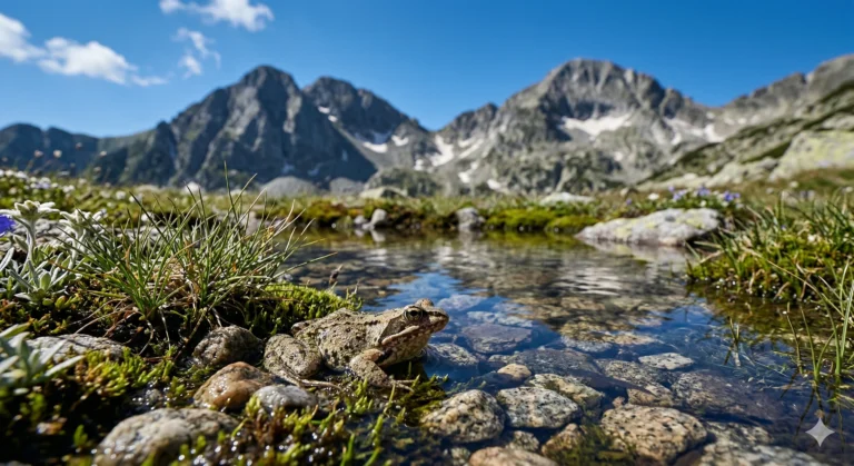
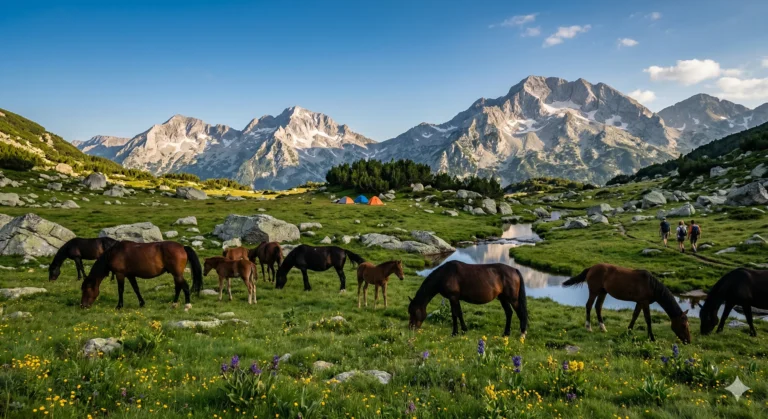
For fishing enthusiasts, the Glazne River is a real treasure. It is classified as a trout area. Here you can find Balkan trout and gray (especially in high lakes). Clear and cold water, rich in oxygen, is an ideal environment for these species.
Advice for anglers:
The trout fishing season in the region usually starts after February 1st. The most successful techniques are fly fishing or small spinnerbaits in the rapids above Bansko. Please follow the “Catch and Release” principle to preserve the population!
Tourist routes and access
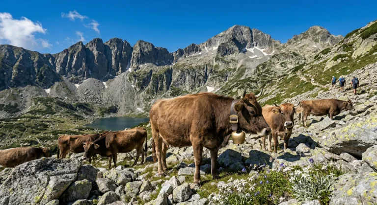
The Glazne River is the starting point for some of the most beautiful hikes in Pirin. Excellent eco-trails have been built along the course of its constituent rivers:
- Eco-trail “Demyanishka River Tells Stories”: Ideal for summer hikes, following the river almost to its sources.
- The route to Vihren hut: The road winds along Banderitsa and offers access to the Banderishki Lakes.
- Banderishka meadow: Accessible by cable car from Bansko, it is a center for summer and winter activities.
Conclusion: Why visit the Glazne River?
Whether you are in Bansko for a ski vacation or a summer vacation, the Glazne River will accompany you with its murmur and coolness. It is not just a water stream, but the life force of the mountain, connecting the high glacial lakes with the fertile valley of Razlog. In 2026, the river remains a symbol of ecological purity and one of the must-see attractions for every visitor to Northern Pirin.
Are you planning a hike along the Glazne River this summer? Share your photos with the hashtag #GlazneRiverBansko!