
If the southern route to the peak of Pirin is the "King's Trail", then climbing Vihren peak through Kazanite is the choice of thrill seekers. This route brings you face to face with the majestic 400-meter North Wall, leads you through the legendary Kazanite circuses and ends with an adrenaline-pumping climb along the marble edge, secured with metal chains.
This is not just a hike, but a test of your mind and balance. In this detailed guide, we will cover every step of the northern approach so you are prepared for one of the most iconic mountain adventures in Bulgaria.
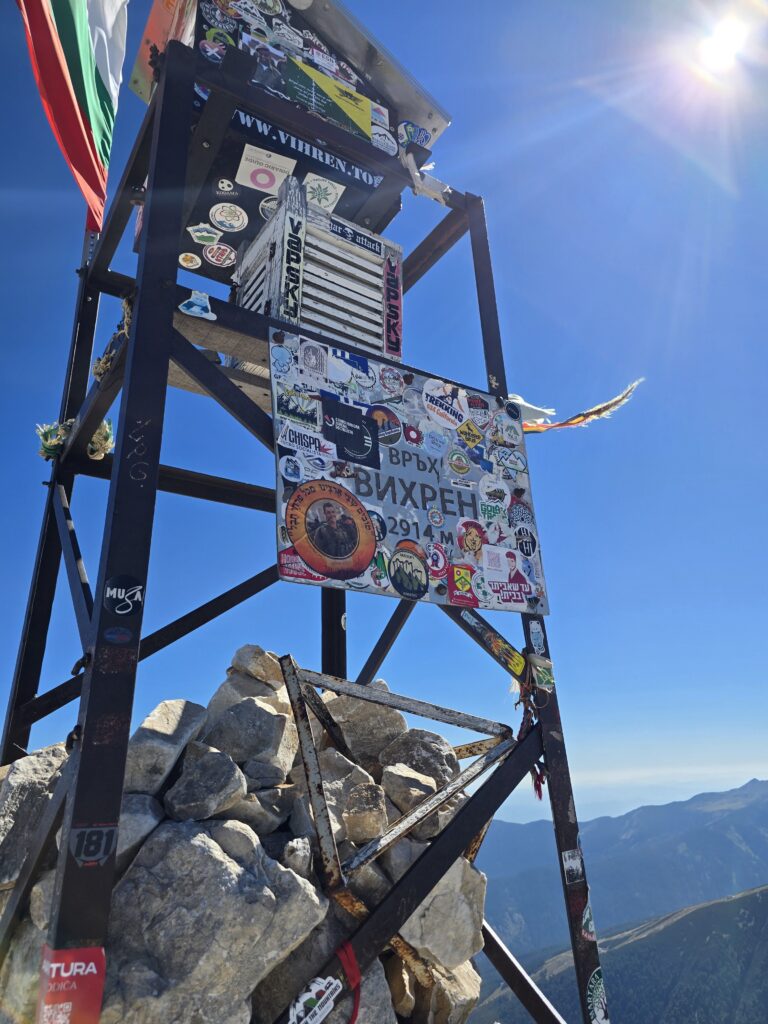
📊 Technical data (Upload only)
| ⏱️ Time without breaks: | 03:00 – 03:30 a.m. |
| ☕ Time with breaks: | 04:30 a.m. |
| 📏 Distance: | ~4 km (one way) |
| 🔥 Calories: | ~900 – 1100 kcal |
| E Average speed: | 1.2 km/h (due to the slope) |
| ⬇️ Lowest point: | 1950 m (Vihren Hut) |
| ⬆️ Highest point: | 2914 m (Vihren Peak) |
| ▲ Level difference: | +964 m |
| ⚠️ Difficulty: | 5.5/6 (Technically complex) |
💡 Why choose the Northern Route?
- ✅ Dramatic views: You will pass at the foot of the North Wall – the largest alpine site in Pirin, where the best climbers train.
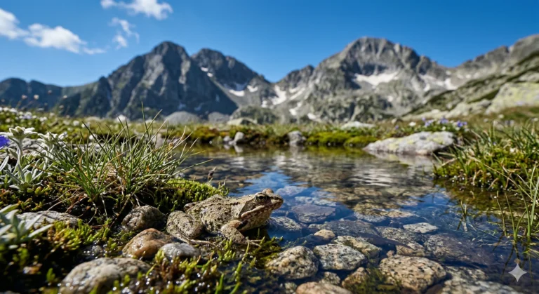
- ✅ Wildlife: „"Kazanite" is home to the largest herds of wild goats (gian) and the edelweiss habitats.
- ✅ Adrenaline: The final 300 meters of elevation gain along the edge with the chains is an experience that has no analogue on the southern slope.
🚗 Logistics and Access 2026
As with the southern route, the starting point is Vihren Hut. It is important to remember the current access rules.
The road Bansko – Vihren Hut is closed to private vehicles from 09:00 to 16:00. in summer. Plan to arrive early (before 07:30) or use public transportation.
- Parking: Limited in front of the hut.
- Water: Fill the skins at the fountain in front of the hut. This is the last one A reliable water source. There is sometimes snow (firn) in Kazanite, but don't rely on meltwater.
🥾 Detailed description: Step by step
Stage 1: The fork (30 min)
You leave the hut along the familiar red markings. After about 20-30 minutes of climbing you reach the large stone with signposts. For this route you have to turn RIGHT (direction "Yavorov Hut" and "Kazan").
Stage 2: To the Kingdom of Edelweiss (1:30 h)
The trail begins a steep, serpentine climb, cutting through the eastern slopes of the peak. Gradually, the squats disappear and you enter the kingdom of stones. First, you reach "Malkia Kazan" - a grassy circus, and after a little more effort you enter the „"The Great Kazan"“.
Here the atmosphere changes. You are in a deep valley, squeezed between the peaks of Vihren and Kutelo. On the left above you hangs the impressive marble wall. Here is also the small shelter "Kazan".
Stage 3: Premkata Saddle (30 min)
From the shelter, the trail continues steeply up the scree towards the saddle. „"The Premka"“ (2660 m). This is the windiest place on the route. The paths from Yavorov hut (via The horse) and our trail. To the north is Mount Kutelo, and to the south – your goal, the marble edge of Vihren.
Stage 4: The Chains (The Final Attack) (45 min – 1:00 h)
This is the essence of climbing Vihren peak through The Kazanites. From Premkata you go directly up the rocky edge.
- The terrain: Steeply sloping marble slabs and rock sills.
- Insurance: A metal rope (chain) that is there for your safety. Use it!
- Technique: Put away the poles (they get in the way). Use the three-foot rule (two feet and one hand or two hands and one foot).
🗻 At the top and descent strategy
Coming out of the chains directly at the peak (2914 m) is triumphant. The view is a well-deserved reward.
💡 Pro Tip: The Circular Route
The smartest way to climb Vihren is:
- Up: Through Kazanite (Northern Route). Rock climbing is easier and safer uphill while you are fresh.
- Down: Via Kabata (Southern route). Poles will help you, and the slope is gentler on your knees. This way you avoid the dangerous descent on the slippery chains.
This way you make a complete tour of the top and see everything!
⚠️ Safety First
1. When should you NOT pass by here?
If the forecast says rain, thunder or fog, forget about the Northern route. The marble becomes extremely slippery (like ice), and the metal chains attract lightning. In bad weather, choose the route via Kabata.
2. Equipment
In addition to the standard equipment (high boots, water, windbreaker), it is highly recommended for this route to have gloves (due to the cold chain) and good coordination.
❓ Frequently Asked Questions (FAQ)
1. Is it scary on the chains?
It depends on your experience. If you have a strong fear of heights (acrophobia), this route will be a nightmare for you because of the sheer views down. For experienced climbers, it is a pleasure.
2. Can I sleep in a Kazan shelter?
The shelter is a small, metal van (barrel type) and is intended for emergencies only. No beds, no hut, no water. Don't plan on staying overnight there unless absolutely necessary.
3. Is it suitable for dogs?
Categorically NO. The section with the chains is almost impossible for a dog (unless you carry it in a backpack, which is dangerous for you). The rocks are sharp and steep.
🗺️ Nearby routes
- The horse: The legendary karst edge is only 30-40 minutes from the Premkata saddle.
- Kutelo Peak: The second highest peak, located opposite Vihren.
- Yavorov Hut: If you continue north from Kazanite (long hike).