If the northern part of Pirin is harsh, rocky and alpine, then Southern Pirin will surprise you with a completely different appearance - endless centuries-old forests, soft rounded ridges and vast pastures. Route No. 13 is an epic and long hike that connects Pirin Hut with the Popovi Livadi Pass (Papaz Chair), passing through the sheltered Malina Hut and the key Vodopoya area. This hike is also the official last stage of the Bulgarian part of the international E4 route within the Pirin Mountains, before it switches to Slavyanka.
13. ROUTE No. 13 – h. "Pirin" - h. "Malina" - the town of Vodopoia - the town of Popovi livadi
📊 Technical data (Telemetry)
- ⏱️ Duration: About 6.5 – 7.5 hours (for the entire route, without long breaks)
- 📏 Distance: About 17 – 18 km
- 🔥 Calories: ~1800 – 2200 kcal
- 🚶 Avg. speed: ~2.5 km/h (terrain allows for faster pace)
- ⛰️ Min/Max height: 1412 m (Popovi Livadi) / ~1900 m (area under Oreljak peak)
- 📈 Elevation: +550 m ascent / -780 m descent
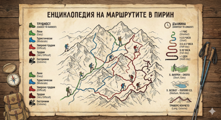
- 🔴 Marking: Red (main marking of E4)
- ⚠️ Difficulty: 3/6 (Medium, difficulty comes mainly from the long length)
💡 Interesting information
- The route passes along the border of a reserve „"Orelyak"“, created to preserve the centuries-old beech forests, some of which are over 150 years old.
- The area Poppy meadows (Papaz chair) is a historical place. Here in 1903, Yane Sandanski and Gotse Delchev discussed plans for the Ilinden-Preobrazhensky Uprising.
- Malina Hut is one of the smallest and most authentic huts in Pirin, located in a fabulous forest area, far from any civilization.
🚗 How to get there? (Logistics)
Since this is a linear, rather than circular, route, logistics require advance planning.
The start is from Pirin hut„, which is not easily accessible by car. It can be reached on foot (most often from the Rozhen Monastery, the town of Melnik or the Begovitsa hut).
The final is on Popovy Livadi Pass. The advantage here is the excellent transport provision – an excellently maintained asphalt road passes through the pass, connecting the town of Gotse Delchev with the town of Sandanski and the village of Katuntsi. The distance from Gotse Delchev to Popovi Livadi is only 15 km.
🥾 Description of the route
1. From Pirin hut to Malina hut„
The hike begins along the red markings, entering dense coniferous and mixed forests. The path is wide, in places it turns into a black forest road. The slope is gentle, with slight descents and ascents. This stage is extremely pleasant and peaceful, and after about 2 to 2.5 hours you will reach the small forest hut "Malina" (1674 m above sea level).
2. From Malina hut to Vodopoya area
After a short break at the hut, the route continues south. The forest begins to gradually thin out, giving way to vast high-altitude pastures. The trail gains a slight elevation. After about 2 hours of walking from "Malina" you reach the Vodopoya area - a key landmark and crossroads with an abundance of cold mountain water.
3. Under Oreljak Peak towards Popovi Livadi
From Vodopoya the trail cuts through the western and southern slopes of the highest peak of the Middle Pirin – Orelyak Peak (2099 m). The movement is mainly through open spaces with incredible views of the Slavyanka Mountain and the Mesta River Valley. In its last part the route descends continuously through beautiful beech forests until it reaches the wide meadows and the asphalt road of the Popovi Livadi Pass (1412 m above sea level).
🛖 Basic information about the objects
At the end of the route (Popovi Livadi), true comfort awaits you, as the area is a developed resort area with numerous accommodation options.
- 📌 Tip: If you are not too tired, at Vodopoya you can deviate slightly and climb Mount Orelyak - the panorama from there is 360-degree and encompasses several mountains.
- ☀️ Season: Optimal period: May - October. Unlike Northern Pirin, the snow melts earlier here.
- 🛏️ Accommodation: On Popovi Livadi there are several chalets (including the chalet of the same name), hotels and rest stops with all amenities (bathroom, hot food, Wi-Fi).
- 💧 Water: The route is well supplied with water – there are fountains at the huts and in the Vodopoya area.
⚠️ Important to know
Wild animals: Southern and Middle Pirin are some of the wildest regions in Bulgaria. The dense forests are a natural home to brown bears, wild boars and deer. It is recommended to move in a group, make some noise (talking, ringing bells) and not deviate from the official trail.
Orientation: The route is very long. Leave as early as possible in the morning from Pirin Hut to ensure that you arrive at Popovi Livadi by daylight. The red markings are good, but in the open pastures the stakes may sometimes be down.
❓ Frequently Asked Questions (FAQ)
Is the route suitable for children?
It is not recommended for young children due to the long length (over 17 km) and the duration of the hike (about 7 hours). It is suitable for teenagers with experience in long hikes.
Can I do the route by mountain bike (MTB)?
Yes! Much of the route between Pirin Hut and Popovi Livadi runs along old forest roads and trails, which are a favorite of more experienced cross-country cyclists. However, good pushing technique is required in some of the steeper sections.