If you want to escape the mass tourist flow and experience the true, unadulterated wildness of the mountain, Route No. 15 is your choice. This hike will take you to the very peak of Pirin (2593 m) – the proud leader of the northernmost part, which gave the name to the entire mountain. Starting from the picturesque village of Senokos and passing through the beautiful area of Shirinata, you will face steep slopes, ancient forests and endless panoramas. Here is everything you need to know about this adventure.
15. ROUTE No. 15 — Senokos village – Shirinata village – Pirin peak.
📊 Technical data (Telemetry)
- ⏱️ Duration: About 3.5 – 4 hours (from Shirinata) or 5.5 – 6 hours (if you start on foot from the village itself)
- 📏 Distance: ~6 km (from Shirirata to the top)
- 🔥 Calories: ~1200 – 1500 calories
- 🚶 Avg. speed: ~1.5 – 2.0 km/h (due to the large elevation gain over a short distance)
- ⛰️ Min/Max height: 1500 m (m. Width) / 2593 m (Pirin Peak)
- 📈 Elevation: About +1090 meters
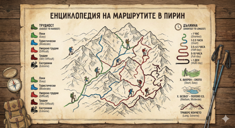
- 🟤 Marking: Brown (to the ridge), then Red (along the Main Ridge)
- ⚠️ Difficulty: 4/6 (Medium to High)
💡 Interesting information
- Pirin Peak (2593 m) was long considered the highest in the mountain range, before accurate measurements determined the crown of Vihren. Its name is associated with the supreme Slavic god of thunder – Perun.
- The peak marks the beginning of the true alpine karst edge of Northern Pirin. From it to the south, the marble giants begin.
- The Shirinata area is a fabulously beautiful forest glade, on which there is a hunting lodge and a reliable water source with ice-cold water.
🚗 How to get there? (Logistics)
The starting point is Senokos village (Simitli municipality). A good asphalt road leads to the center of the village.
From the village to the actual beginning of the mountain trail in the area of Shirinata lead about 7 kilometers of black, rocky forest road. If you have a reliable all-terrain vehicle (4×4), you can drive up to the meadow itself and save about 1.5 – 2 hours of boring and dusty walking in that direction. If you have a standard passenger car, it is highly recommended to leave it at the upper end of the village and continue on foot.
🥾 Description of the route
1. From the village of Senokos to the Shirinata area
If you are walking, follow the dirt road marked with brown paint. It winds gently uphill through beautiful mixed forests. Reaching the Shirinata area (1500 m above sea level), you will find a large meadow with a hunting shelter, tables, benches and a fountain. This is an ideal place to rest and recharge with water.
2. Climbing through the forest and squats
From Shiriata the trail becomes a real mountain artery and starts steeply up. You enter a centuries-old pine forest, which gradually turns into a dense squat belt. The climb is uncompromising and quickly gains height, testing the endurance of your hips.
3. Exiting the Main Pirin Ridge
After about 2 hours of tiring climbing from Shirit, the squats are left behind and the trail emerges onto the open Main Pirin Ridge. Here the brown marking intersects with the red one (the international route E4). The views in all directions are now stunning.
4. Final assault on Pirin Peak
From the ridge, head south (right) along the red markings. You have about an hour of walking along a rocky but very panoramic edge to the very peak of Pirin (2593 m). From the top, a fantastic panorama opens up to the marble ridge to the south (the peaks of Albutin, Kutelo and Vihren) and the Struma valley to the west.
⛰️ Basic information about the site (Pirin Peak)
Pirin Peak is wild, harsh and devoid of tourist infrastructure. There are no huts or shelters for shelter.
- 📌 Tip: Be sure to bring a windbreaker - there is almost always a strong wind at the top, even on hot summer days.
- ☀️ Season: Recommended only from June to October.
- 💧 Water: There is no water at the top and along the ridge. The last place to fill up is the fountain at m. Shiriata.
- 📱 Scope: There is good mobile coverage at the very top and along the ridge, but in the forests below it is often lost.
⚠️ Important to know
This is one of the least visited and wildest areas of Northern Pirin. Encounters with wild animals (including wild boars and bears) are not excluded in the lower forest belt, so move with caution and make a little noise.
In winter, the route changes dramatically and passing through some sections (especially the gullies under the ridge) is very dangerous for avalanches. Crampons, an ice axe, and serious alpine experience are required for winter climbing.
❓ Frequently Asked Questions (FAQ)
Is the route suitable for beginners?
It is not recommended for people without experience. The large elevation gain and steep terrain require good physical fitness and endurance, especially if you start on foot from the village of Senokos itself.
Can I continue to Yavorov Hut after the summit?
Yes! The red marking (E4) continues south along the marble ridge to the Yavorov hut. Keep in mind, however, that this is a very long and difficult hike (about 4-5 hours from the summit to the hut), suitable only for very well-prepared tourists.