


Published: 23.03.2026 • Updated: 23.03.2026
Banderishki Lakes – A scenic family route from Banderitsa Hut
BLOCK: Technical data (Telemetry)
- ⏱️ Time without breaks: 2:30 a.m.
- ☕ Time with breaks: 3:30 a.m.
- 📏 Distance: ~6 km (two-way)
- 🔥 Calories: ~550 kcal
- ⚡ Average speed: 2.5 km/h
- ⬇️ Lowest point: 1810 m above sea level (Banderitsa hut)
- ⬆️ Highest point: 2230 m above sea level (Muratovo Lake)
- ▲ Elevation: +420 m / -420 m
- 🏔️ Difficulty: 2 of 6 (Light)
3. Interesting information
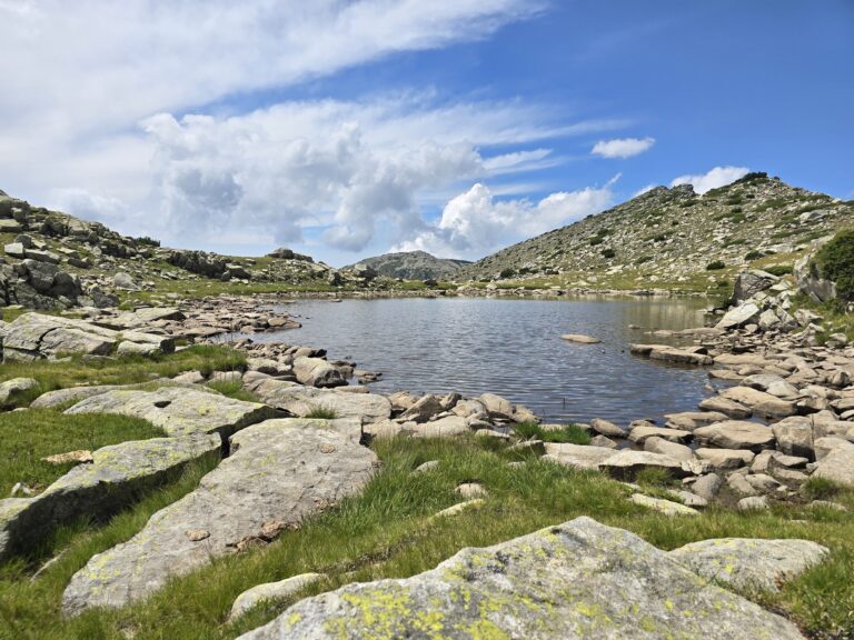
- 🌊 The lake group consists of a total of 16 glacial lakes, but only 5 of them are large and permanent: Muratovo, Ribno (Banderishko), Zhabeshko, Dalgo and Okoto.
- 📸 In calm weather, the majestic profile of Todorka Peak is reflected in the crystal waters of Muratovo Lake, making it one of the most photographed places in Pirin.
- 🐸 Frog Lake is the highest located (2322 m above sea level), but despite the harsh alpine climate, tadpoles breed there.
4. How to get there? (Logistics)
- 🚗 By car: The distance from Bansko, To the starting point (Banderitsa hut) is about 14 km on well-maintained asphalt. There is a free parking lot in front of the hut (GPS: 41.7663, 23.4246). Attention: During the peak summer season, access for private cars uphill may be limited during the day - then vans from Bansko are used.
- 🚶 On foot: The hike starts directly from the parking lot of the Banderitsa hut, taking a clearly marked and marked path up towards the Vihren hut.
5. Description of the route
- Stage 1 (Banderitsa hut – Vihren hut): You start on the yellow and red marked trail. The terrain winds gently through coniferous forest and open meadows. After about 30-40 minutes of smooth walking you reach the Vihren hut.
- Stage 2 (Vihren hut – Banderitsa river): The path becomes more rocky. Follow the blue-yellow markings. Cross the turbulent waters of the Banderitsa River on a wooden bridge, from where a panorama opens up to the eastern face of Vihren Peak.
- Stage 3 (The Lakes): Immediately after the river, you pass by the small Okoto Lake. From there, the trail splits – the blue marking leads to Muratovo Lake (about 40 minutes of gentle ascent), and the alternative trail leads to the lower-lying Ribno Lake.
6. Basic information about the site (Banderitsa Hut)
Banderitsa Hut is the main logistical center for this trek. It is one of the oldest huts in Pirin and offers hot food, drinks and excellent accommodation.
- 💡 Tip: Start your hike before 09:00 in the morning to guarantee a parking spot and clear skies for photos (before the afternoon cloudiness).
- ✔️ Working hours: 24/7 (Free access to the route, the hut is open all year round).
- 📅 Most visited in: July – September.
- 🛏️ Places/Beds: About 90 seats in rooms of various capacities.
- 💸 Price: Access to the national park is free.
- 🐕 Dogs: Yes (they are allowed in the park, but must be on a leash).
- 📞 Phone: 0898 448 404 (Banderitsa Hut).
7. Important to know
- ☀️ Sun protection: The route above Vihren hut is completely open. The Alpine sun is strong, so hats, sunglasses and sunscreen are mandatory.
- 👟 Equipment: The terrain is rocky and uneven. Wear sturdy hiking shoes or sneakers with grip. Flip-flops and sandals are not suitable!
- 📱 Phone range: The signal is good around the huts, but along the trail and around the lakes (especially Muratovo) it can be completely lost.
8. Frequently Asked Questions (FAQ)
- Is there drinking water on the route?
Yes, you can pour water from the fountains in front of Banderitsa hut and Vihren hut. Drinking directly from the lakes or the river is not recommended. - Is the route suitable for children?
Yes, the route is excellent for active children over 6-7 years old. The elevation gain is smooth. - Can we swim in the lakes?
No! The Banderishki Lakes are glacial and are located in Pirin National Park. Swimming in them is strictly prohibited and subject to serious fines.
9. Nearby routes
- Baikusheva mura: It is located a 5-minute walk above Banderitsa hut.
- Banderitsa Waterfall (Banderitsa Jump): A short descent below Banderitsa hut to a beautiful 30-meter waterfall.
- Vihren Peak: A difficult and steep route starting from Vihren hut (about 3 hours in one direction).